Page 7 - Trails out of Meat Cove
Published by Ronald Caplan on 1973/5/1 (5275 reads)

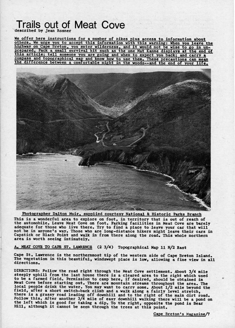
Trails out of Meat Cove described by Jean Rosner We offer here instructions for a number of hikes plus access to information about others. We urge you to accept this information with this warning; When you leave the highway on Cape Breton, you enter wilderness, and it would not be wise to go m un? prepared. Pack a small survival kit such as the one Mat Kanne displays at the end of this article; tell someone you are going and when to expect you back;'and carry a compass and topographical map and know how to use them. These precautions can mean the difference between a comfortable night in the woods • and the end of your life! Photographer Dalton Muir. supplied courtesy National & Historic Parks Branch This is a wonderful area to explore on foot, in territory that is out of reach of the automobile. Leave Meat Cove on foot. Parking facilities in Meat Cove are barely adequate for those who live there. Try to find a place to leave your car that will not be in anyone's way. Those who are long-distance hikers might leave their cars in Capstick or Black Point and walk in from there along the road. This whole northern area is worth seeing intimately. A. MEAT COVE TO CAEB ST. LAWRENCE (2 3/4) Topographical Map 11 N/2 East Cape St. Lawrence is the northernmost tip of the western side of Cape Breton Island. The vegetation in this beautiful, windswept place is low, allowing a fine view in all directions. DIRECTIONS: Follow the road right through the Meat Cove settlement. About 3/4 mile steeply uphill from the last house there is a cleared area to the right which used to be a farmed field. Permission to camp here, if desired, should be obtained in Meat Cove before starting out. There are mountain streams throughout the area. The local people drink the water. You may want to carry some. About l/2 mile beyond the field, after a short switch-back climb and a walk along a fairly level stretch, there is a grassy road leading off downhill and to the right of the main dirt road. Follow this. After another 3/4 mile of easy downhill walking there will be a pond on the left which is good for taking a dip. To the right, opposite the pond is Bear Hill, although it cannot be seen through the trees at this point. Cape Breton's Magazine/7


Adobe Acrobat Reader is required to the PDF version of this content. Click here to download and install the Acrobat plugin