Page 23 - Searching for the Highlands National Park, 1934
Published by Ronald Caplan on 1986/8/1 (321 reads)
 Page 22 - Searching for the Highlands National Park, 1934
Page 24 - Searching for the Highlands National Park, 1934

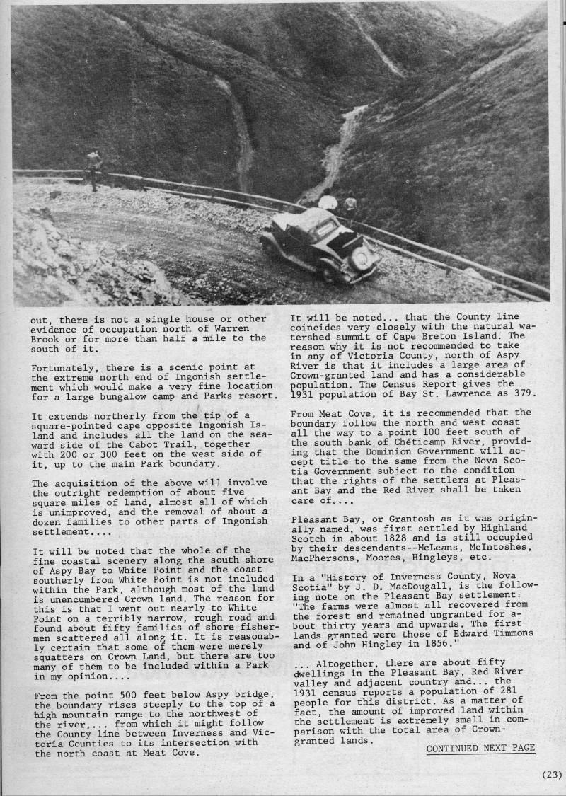
out, there is not a single house or other evidence of occupation north of Warren Brook or for more than half a mile to the south of it. Fortunately, there is a scenic point at the extreme north end of Ingonish settle? ment which would make a very fine location for a large bungalow camp and Parks resort. It extends northerly from the tip of a square-pointed cape opposite Ingonish Is? land and includes all the land on the sea? ward side of the Cabot Trail, together with 200 or 300 feet on the west side of it, up to the main Park boundary. The acquisition of the above will involve the outright redemption of about five square miles of land, almost all of which is unimproved, and the removal of about a dozen families to other parts of Ingonish settlement.... It will be noted that the whole of the fine coastal scenery along the south shore of Aspy Bay to White Point and the coast southerly from White Point is not included within the Park, although most of the land is unencumbered Crown land. The reason for this is that I went out nearly to White Point on a terribly narrow, rough road and found about fifty families of shore fisher? men scattered all along it. It is reasonab? ly certain that some of them were merely squatters on Crown Land, but there are too many of them to be included within a Park in my opinion.... From the point 500 feet below Aspy bridge, the boundary rises steeply to the top of a high mountain range to the northwest of the river,... from which it might follow the County line between Inverness and Vic? toria Counties to its intersection with the north coast at Meat Cove. It will be noted... that the County line coincides very closely with the natural wa? tershed summit of Cape Breton Island. The reason why it is not recommended to take in any of Victoria County, north of Aspy River is that ,it includes a large area of Crown-granted land and has a considerable population. The Census Report gives the 1931 population of Bay St. Lawrence as 379. From Meat Cove, it is recommended that the boundary follow the north and west coast all the way to a point 100 feet south of the south bank of Cheticamp River, provid? ing that the Dominion Government will ac? cept title to the same from the Nova Sco? tia Government subject to the condition that the rights of the settlers at Pleas? ant Bay and the Red River shall be taken care of • ... Pleasant Bay, or Grantosh as it was origin? ally named, was first settled by Highland Scotch in about 1828 and is still occupied by their descendants--McLeans, Mclntoshes, MacPhersons, Moores, Hingleys, etc. In a "History of Inverness County, Nova Scotia" by J. D. MacDougall, is the follow? ing note on the Pleasant Bay settlement: "The farms were almost all recovered from the forest and remained ungranted for a- bout thirty years and upwards. The first lands granted were those of Edward Timmons and of John Hingley in 1856." ... Altogether, there are about fifty dwellings in the Pleasant Bay, Red River valley and adjacent country and... the 1931 census reports a population of 281 people for this district. As a matter of fact, the amount of improved land within the settlement is extremely small in com? parison with the total area of Crown- granted lands. CONTINUED NEXT PAGE (23)


Page 22 - Searching for the Highlands National Park, 1934
Page 24 - Searching for the Highlands National Park, 1934
Adobe Acrobat Reader is required to the PDF version of this content. Click here to download and install the Acrobat plugin